
Search
Authentic old and antique maps of the United States of America for sale. Our rare U.S. map inventory features original antique Thirteen Colonies maps, Revolutionary War maps, old Civil War maps, and many other American historical subjects. We have antique map categories for all states and many important cities. Vintage pictorial maps of the United States of America are also for sale.
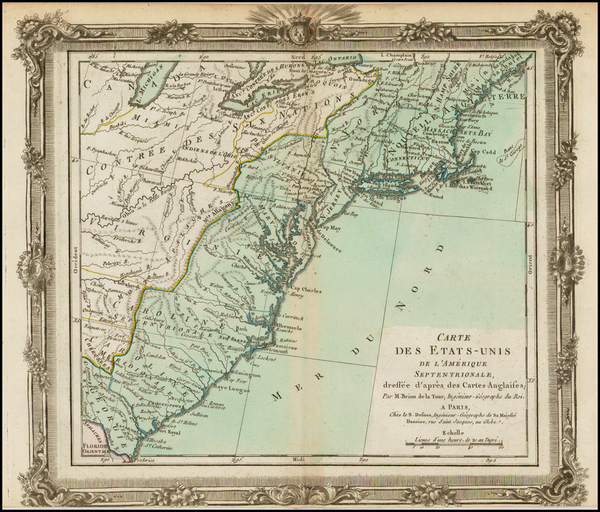
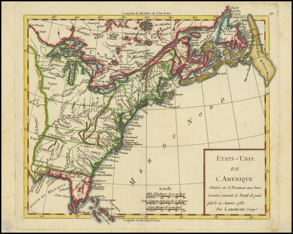
Place/Date:
Paris / 1783
Size:
12 x 11 inches
Condition:
VG
Stock#:
39783
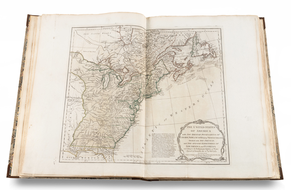
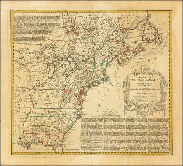
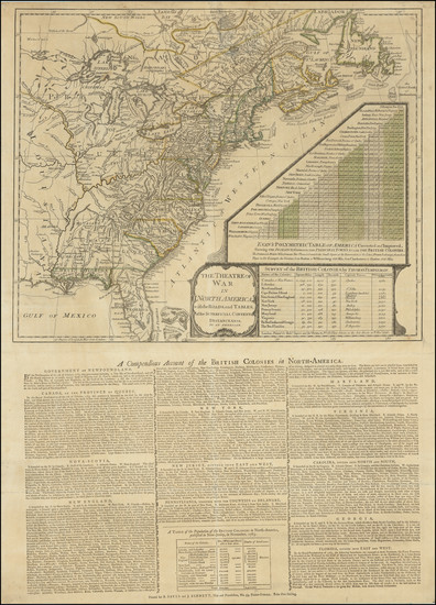
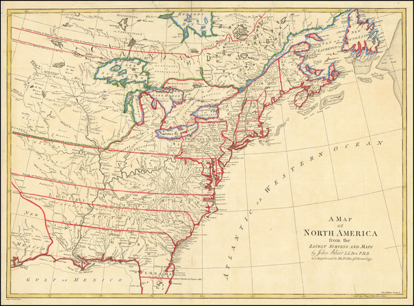
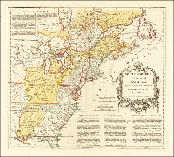
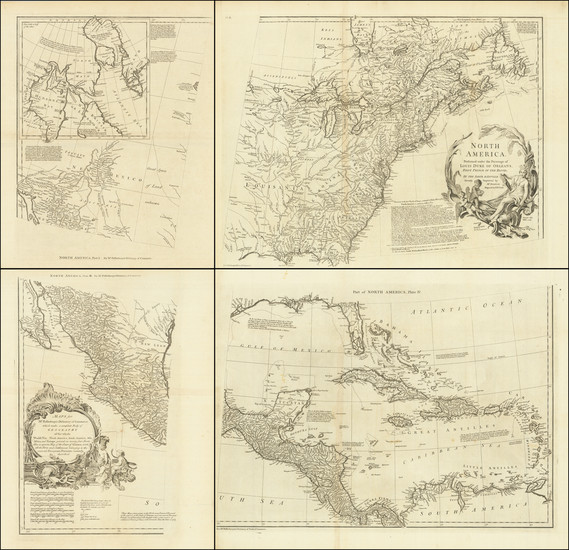
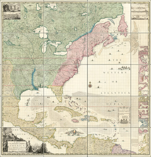
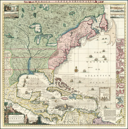
One of the First Antique Maps to Name the United States
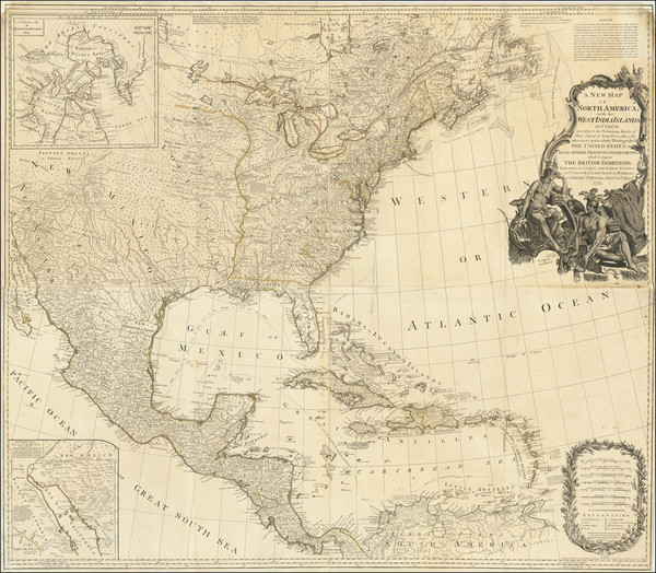
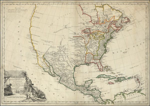
Place/Date:
London / 1783
Size:
46 x 40 inches
Condition:
VG
Stock#:
70734
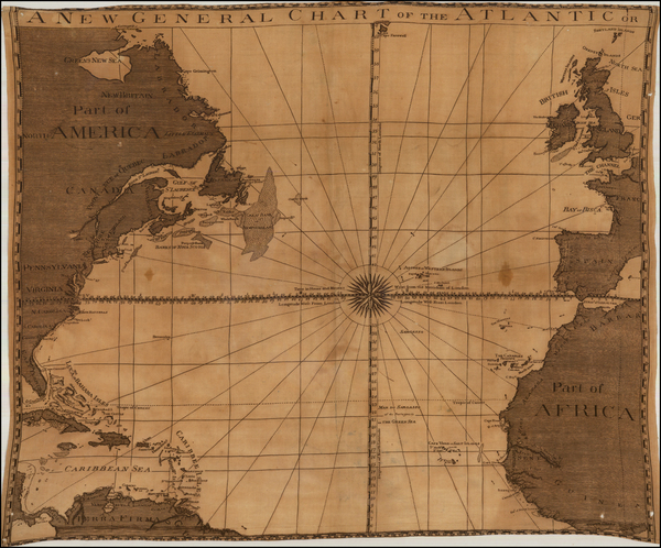
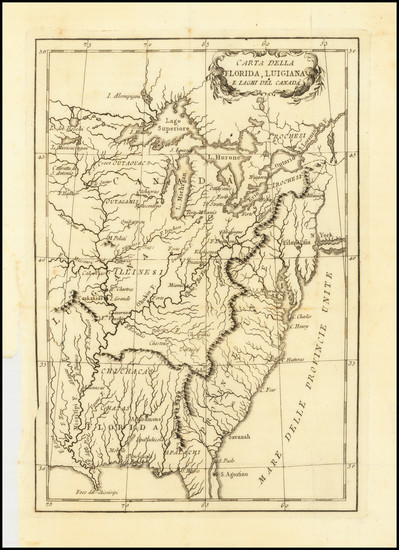
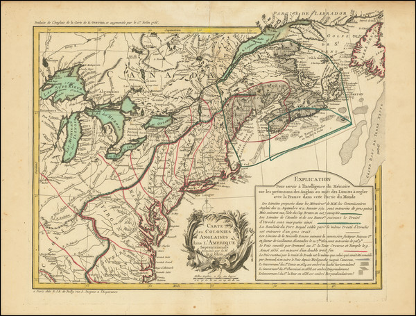
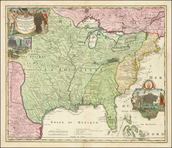
Place/Date:
Paris / 1783
Size:
25.5 x 19 inches
Condition:
VG+
Stock#:
81052
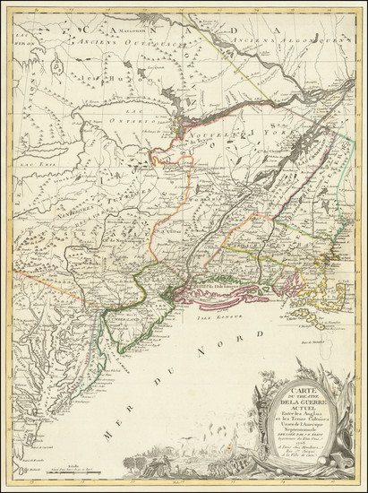
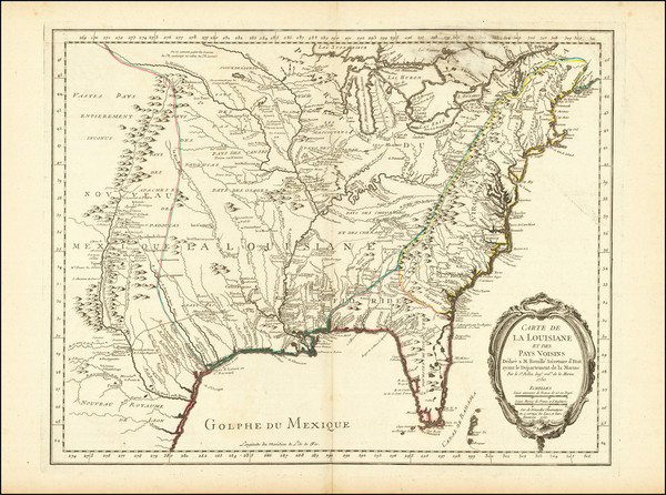
Place/Date:
Paris / 1783
Size:
28.5 x 20 inches
Condition:
VG
Stock#:
92012
Place/Date:
Paris / 1783
Size:
9 x 8 inches
Condition:
VG+
Stock#:
103575
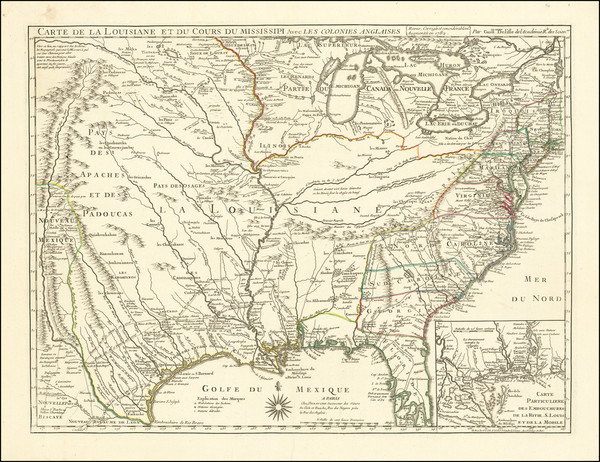
Place/Date:
Paris / 1782
Size:
25.5 x 19.5 inches
Condition:
VG
Stock#:
73656
Place/Date:
London / 1782 [1783]
Size:
21.5 x 15.5 inches
Condition:
VG
Stock#:
95391
Place/Date:
n.p. / 1780 circa ?
Size:
25 x 21 inches
Condition:
VG
Stock#:
47973
Rare map showing the United States by Anonymous made in 1780.
Place/Date:
Italy / 1780 (ca)
Size:
7 x 10 inches
Condition:
VG+
Stock#:
85944
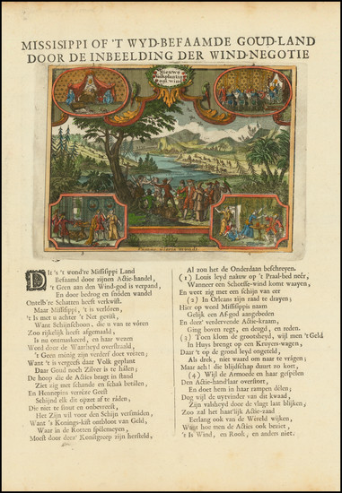
Place/Date:
Amsterdam / 1780
Size:
14.75 x 6.75 inches (envraving)
Condition:
VG
Stock#:
99580
Place/Date:
Paris / 1779
Size:
28.5 x 20 inches
Condition:
VG
Stock#:
94192
Place/Date:
Paris / 1778
Size:
20.5 x 27.5 inches
Condition:
Good
Stock#:
86775
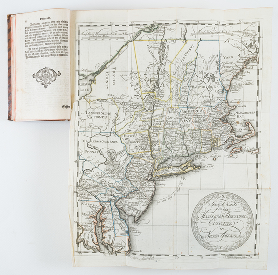
Place/Date:
Braunschweig / 1778
Size:
11.7 x 14.8 inches (map size)
Condition:
VG
Stock#:
84175
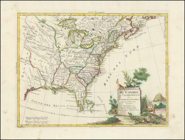
Place/Date:
Venice / 1778
Size:
49.5 x 52 inches (if joined)
Condition:
VG
Stock#:
90539
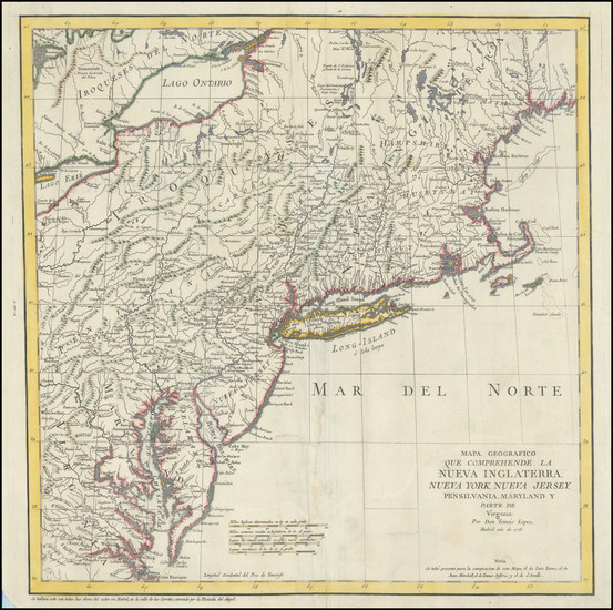
Place/Date:
Madrid / 1778
Size:
15 x 15.25 inches
Condition:
VG
Stock#:
95136
Place/Date:
Venice / 1778
Size:
16 x 12 inches
Condition:
VG
Stock#:
103423
Place/Date:
Paris / 1778
Size:
30 x 20.5 inches
Condition:
VG
Stock#:
103467
Place/Date:
London / 1778
Size:
15 x 13.5 inches
Condition:
VG+
Stock#:
103554
Place/Date:
London / 1777
Size:
21 x 17 inches
Condition:
VG
Stock#:
51418
Dury's 1777 rare map showing the United States.
Place/Date:
Paris / 1777
Size:
27.5 x 19.5 inches
Condition:
VG+
Stock#:
64522
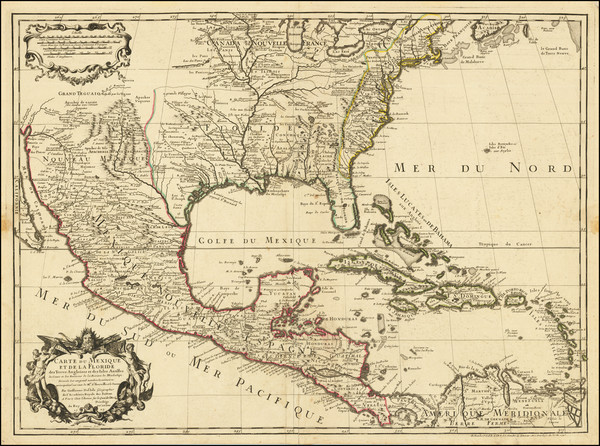
Moithey's 1777 antique map showing the United States.
Place/Date:
Nuremberg / 1777
Size:
20 x 18 inches
Condition:
VG
Stock#:
80503
Place/Date:
Paris / 1777
Size:
28.5 x 21 inches
Condition:
VG
Stock#:
89535
Place/Date:
Paris / 1777
Size:
24.5 x 17 inches
Condition:
VG
Stock#:
95721
Place/Date:
Paris / 1777
Size:
31.5 x 20.5 inches
Condition:
VG
Stock#:
103484
Place/Date:
London / 1776
Size:
20.5 x 29 inches
Condition:
VG
Stock#:
81762
Place/Date:
Augsburg / 1776
Size:
19.25 x 23.75 inches
Condition:
VG
Stock#:
100143
Place/Date:
London / 1775
Size:
45.5 x 40.5 inches (if joined)
Condition:
VG
Stock#:
94848
Place/Date:
Paris? / 1775 - 1783 circa
Size:
13.5 x 9.75 inches
Condition:
VG
Stock#:
95381
Place/Date:
London / 1768
Size:
22.5 x 16.5 inches
Condition:
VG
Stock#:
88865
Place/Date:
London / 1764
Size:
12 x 9.5 inches (map size / British colonies)
Condition:
VG
Stock#:
77573
Place/Date:
Nuremberg / 1756
Size:
20 x 18 inches
Condition:
VG+
Stock#:
59919
Homann Heirs's 1756 antique map showing the United States.
Place/Date:
Paris / 1756
Size:
30 x 21.5 inches
Condition:
VG
Stock#:
94026
Place/Date:
Paris / 1756
Size:
18.5 x 14.5 inches
Condition:
VG+
Stock#:
103184
Place/Date:
London / 1755
Size:
20 x 18 inches
Condition:
VG+
Stock#:
64993
Place/Date:
Paris / 1755
Size:
24 x 18.5 inches
Condition:
VG+
Stock#:
84872
Place/Date:
London / 1755 (1756)
Size:
22.5 x 17 inches
Condition:
Stock#:
86975
Place/Date:
Paris / 1755
Size:
19.5 x 24 inches
Condition:
VG
Stock#:
93039
Place/Date:
London / 1755
Size:
14.75 x 10.75 inches
Condition:
VG+
Stock#:
99245
Place/Date:
Amsterdam / 1755
Size:
18 x 14.5 inches
Condition:
VG
Stock#:
99662
Place/Date:
Paris / 1753 (1755)
Size:
26.5 x 19 inches
Condition:
VG+
Stock#:
94454
Place/Date:
London / 1752
Size:
36 x 36 inches If Joined
Condition:
VG
Stock#:
85209
Place/Date:
Paris / 1745
Size:
25.5 x 19 inches
Condition:
VG
Stock#:
76340
Antique map showing the United States by De L'Isle / Buache made in 1745.
Place/Date:
Paris / 1744
Size:
22 x 15.5 inches
Condition:
VG+
Stock#:
84933
Place/Date:
Augsburg / 1740
Size:
22.5 x 19.5 inches
Condition:
Good
Stock#:
71713
Seutter's 1740 antique map showing the United States.
Place/Date:
London / 1733 (1734)
Size:
92 x 100 inches (if joined)
Condition:
VG+
Stock#:
92713
Place/Date:
London / 1733
Size:
19.5 x 20 inches
Condition:
VG+
Stock#:
92714
Place/Date:
London / 1733 (1734)
Size:
27.5 x 19 inches (each full sheet)
Condition:
VG+
Stock#:
95903
Place/Date:
London / 1733
Size:
24.5 x 40.5 inches
Condition:
VG+
Stock#:
101277
Place/Date:
Amsterdam / 1721
Size:
9.5 x 12.5 inches Including Text
Condition:
VG+
Stock#:
93712
Place/Date:
Nuremberg / 1720
Size:
22.5 x 19 inches
Condition:
VG+
Stock#:
73950